 |
We awoke in the morning to the liquid rhythm of rain upon our roof. We had spent a very uncomfortable night in a tiny room that lacked air conditioning and was placed right beneath this old, stone farm house's roof. It was a sweat lodge. Even with the window open (an invitation to every mosquito in Emilia-Romagna) the temperature was still in the upper-eighties. We tossed and turned and sweated through the night.
Then, with the dawn, rain.
Rain is my favorite weather. Nevertheless, I could not help remember how unpleasant it had been to hike in the rain at the beginning of this trip. Wet socks, blisters, sliding around on exposed tree roots and shale. Wasn't there some happy medium between the weather extremes? How about a 55F day with thick clouds to blot out the sun?
In any case, you don't get to pick your weather on the Via. When it's skin-blistering hot, you hike. When rain descends in a Genesis deluge and lightning spiders around the distant peaks, you hike.
It was not raining when we left town. Because we had divided up the stage, we had a fairly short 14 kilometers to our destination. It was about 25 degrees cooler than it had been the day before, but it was still very humid.
Our route still followed the river. After winding up and down a couple of hills, we reached a point where the river had carved a path through the limestone. This mini canyon directed a flow of cool air into our faces which was very refreshing.

Stone Canyon
The canyon was also home to a couple of horse ranches. Paddocks stretched away from the water and dozens of horses munched on nasty looking piles of hay.

The Wild West
As we approached our first town, Galeata, we passed a number of cherry trees lining the road. They were a dark red, succulently ripe. I popped a couple in my mouth. Mary picked a couple and said, “I think the signs say that they want people to eat them.”
Signs? I hadn’t seen any signs.
She pointed out a thin red and white banner hidden beneath the leafy branches. It read, ciliegie avvelenate. “That means ‘eat the cherries,’ right?”
It was a new word for me. I looked it up quickly: poisoned, toxic.
We quickly spit out our cherries. I assumed that the sign meant that they had been sprayed at some point in the past. If they really were poisonous cherries, more visible signage would be a good idea.
 |
| Galeata |
We entered Galeata. The streets were full of people engaged in Saturday morning socializing. At the far end of town we passed a natural water machine where you could fill your plastic water bottles with natural, lightly fizzy, or full fizz mineral water. Five euro cents per liter. I needed something to counteract the effects of poisonous cherries, so I filled two bottles with frizzante.
Further down the road was Pianetto, a lovely little burg. We did not see as much of it as we would have liked, as the Via turned in the middle of the town and went storming up a hill, a route that was supposed to lead to the ruins of a castle. Unfortunately, at the foot of the hill upon which the castle was located, an electric fence prevented further progress. We followed a road that flanked the hill, and emerged at a signboard describing the castle. Once again, an active electric fence blocked entry into the site. We stomped around a dairy located near the castle, looking for the way back onto the trail --- this would be a fantastic place for a few waymarks. Ultimately, with the help of the GPS, we were able to get back onto course, slipping down a cow trail, through muddy feces.
As we closed on Santa Sofia, we passed through a series of empty and vine-encrusted houses. It was an abandoned village, once called Qualtrosola. I don’t know why these homes were abandoned, but today the crumbling buildings are slowly being overtaken by the elements.

Qualtrosola
Down the hill, through a farmer’s field, and then on to Santa Sofia. The sky had clouded over and thunder was rolling across the line of mountains ahead. As we passed through the outskirts of town, rain began to spatter, and then quickly thickened. We jumped under the overhang of a building in the cemetery and strapped on our backpack covers.
Naturally, once our backpacks were secured, the rain stopped. We continued on into Santa Sofia, found our delightful accommodations, and settled in for a rainy night.
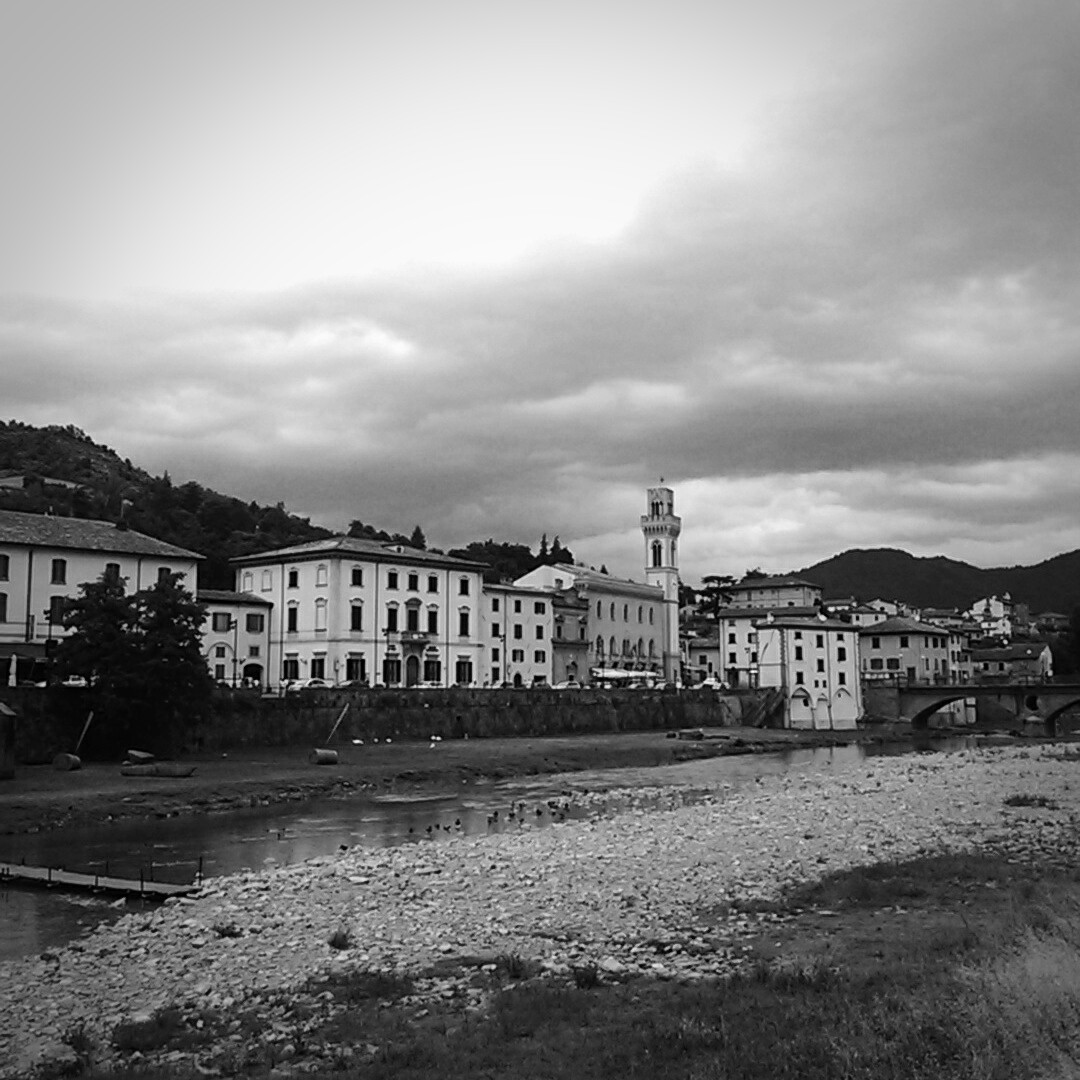
Santa Sofia
Today’s Distance: 14.5 KM
Total Distance: 684.5 KM
No comments:
Post a Comment